Massachusetts, a state rich in history and diversity, is divided into 14 unique counties. Each county, with its own distinct character, contributes to the state’s vibrant tapestry.
Understanding the Massachusetts County Map Layout is more than just geography. It’s about appreciating the state’s administrative divisions, historical evolution, and cultural heritage.
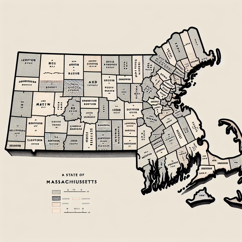
This guide aims to provide a comprehensive understanding of the Massachusetts county map. It will delve into the layout of the counties, their locations, boundaries, and unique features.
Whether you’re a resident, a student, a researcher, or a tourist planning a visit, this guide will serve as a valuable resource. It will also be useful for those interested in real estate, legal matters, or historical research.
We’ll explore specific counties like Franklin and Worcester, and discuss the practical uses of the county map. We’ll also provide insights into printable and digital maps for your convenience.
Join us as we journey through the Massachusetts county map, uncovering the stories and significance behind its layout.
The Significance of Massachusetts Counties
The concept of counties in Massachusetts dates back to the colonial era. These counties were established as administrative units to manage local governance and judicial matters. Over time, the role of counties has evolved to meet modern needs.
Today, counties in Massachusetts perform various functions. They manage aspects of law enforcement, public health, and judicial services. Each county boasts unique governance structures that reflect its local culture and needs.
Counties handle responsibilities that larger state entities cannot address effectively. They oversee regional planning, emergency services, and specific public services. Despite their importance, county governments have a limited scope compared to state authorities.
- Key functions include:
- Public safety and law enforcement
- Regional planning and development
- Health and human services
- Education and cultural programs
Some counties, like Suffolk, have been reshaped by urban expansion. Meanwhile, others maintain historical boundaries that date back centuries. This local governance provides a sense of identity and community for residents.
Massachusetts’s counties are integral to understanding local governance structures. They play crucial roles in political representation, legal jurisdictions, and administrative functions. Understanding these roles enhances our appreciation of the state’s organizational complexity.
Exploring the 14 Counties of Massachusetts
Massachusetts is divided into 14 diverse counties. Each offers unique features and serves as a focal point for local governance. Let’s explore each county’s characteristics and its county seat.
Barnstable County is located on Cape Cod, known for its scenic beaches and maritime activities. The county seat is Barnstable. This region is a popular tourist destination for summer vacations.
Berkshire County lies in the westernmost part of the state. Pittsfield serves as its county seat. The county is famous for its beautiful Berkshire Mountains and vibrant cultural scene.
Bristol County boasts a rich industrial history. With Taunton as its county seat, it features a mix of urban and rural areas. The county is known for historical landmarks and textile industries.
Dukes County includes Martha’s Vineyard, attracting visitors to its charming island life. Edgartown is the county seat. The county is celebrated for its picturesque landscapes and quaint towns.
Essex County includes historic Salem, known for its infamous witch trials. Salem and Lawrence are its seats. Essex features a stunning coastline and a rich colonial history.
Franklin County offers tranquil rural landscapes and historical towns. Greenfield, the county seat, is a hub of cultural activities. The county is a haven for those who appreciate nature and history.
Hampden County is home to Springfield, its county seat, known for its innovation and sports heritage. The area is vibrant with cultural institutions and parks.
Hampshire County features Northampton, noted for its arts scene and academic community. The county seat is Northampton, providing a blend of cultural and educational experiences.
Middlesex County is the most populous, housing Cambridge and Lowell as its seats. It’s a center for education and innovation, with renowned universities and research institutes.
Nantucket County comprises Nantucket Island, offering a serene coastal retreat. Nantucket is the county seat, known for its well-preserved architecture and maritime history.
Norfolk County features a rich political history, with Dedham as its county seat. The county is characterized by suburban communities and historical sites.
Plymouth County is rooted in American history, with Plymouth as its seat. It’s celebrated as the landing site of the Pilgrims and is rich in historical heritage.
Suffolk County encompasses Boston, the state capital and primary city. The county includes significant urban development, cultural institutions, and a diverse population.
Worcester County is the largest by area, with a diverse range of towns and cities. The seat is Worcester, known for its dynamic culture and varied economic base.
Each county in Massachusetts brings something distinct to the state’s cultural and geographic tapestry. From coastal towns to mountain vistas, the diversity of the counties provides a rich landscape for exploration.
Key Features of the Massachusetts County Map
The Massachusetts county map offers an extensive array of geographic information. It clearly displays the diverse topography across the state, from coastal shores to inland valleys. This map gives an overview of natural features that define each county’s unique character.
Understanding the administrative boundaries on this map is crucial for various purposes. It delineates the limits of county jurisdiction, which is essential for governance and law enforcement. These boundaries also play a significant role in taxation and municipal services.
Transportation networks are prominently featured on the county map. These include major highways, railways, and public transit routes. Such details aid in navigation and planning travel itineraries within and between counties.
Here are key aspects illustrated on the map:
- Geographic landmarks and landforms
- Administrative boundaries of counties and towns
- Transportation routes and connections
For legal, real estate, or educational uses, detailed examination of county map features is invaluable. The map is more than lines and labels; it’s a tool for understanding regional development and infrastructure. In essence, the Massachusetts county map is a vital resource, reflecting both natural and human-made elements shaping the state.
Franklin County: A Closer Look
Franklin County, nestled in the northwestern part of Massachusetts, is renowned for its rural charm. The landscape is dotted with picturesque farms, rolling hills, and tranquil rivers. This county offers a serene contrast to the bustling urban areas of the state.
Rich in history, Franklin County is home to several towns with deep historical roots. Each town has preserved its unique architectural styles and historical sites. Walking through its streets is like stepping back in time, where past and present coexist harmoniously.
This county is a destination for those seeking outdoor adventures. Visitors can explore its numerous trails, engage in fishing, or simply enjoy the natural beauty. Franklin County truly captures the essence of New England’s pastoral elegance, making it an invaluable part of Massachusetts’ history and culture.
Worcester County: Diversity in the Largest County
Worcester County, the largest by area in Massachusetts, boasts a rich diversity of towns and cities. It spans from bustling urban centers to quiet rural communities. Each area offers unique experiences, blending history and modern-day living.
The city of Worcester serves as the county seat and is a hub of cultural activity. It hosts numerous museums, theaters, and parks, reflecting a vibrant urban life. Beyond the city, the county’s smaller towns offer quaint charm and tight-knit communities.
Throughout Worcester County, the blend of landscapes and lifestyles provides both residents and visitors with endless opportunities. Whether exploring its cultural offerings or enjoying scenic countryside, there’s something for everyone to discover. The variety of experiences underscores Worcester County’s importance in the broader Massachusetts tapestry.
Practical Uses of the County Map
The Massachusetts county map is a vital tool in many professional fields. In real estate, understanding county lines and local amenities is crucial. Buyers and agents rely on maps to assess neighborhoods and property values.
Education professionals use county maps for district planning and resource allocation. Maps assist in defining school zones and understanding demographic spreads. This ensures schools meet the community’s educational needs effectively.
Travel planning also benefits from detailed county maps. Tourists can plot routes to explore local attractions and hidden gems. Maps highlight key travel networks, offering convenient navigation options.
For legal and emergency services, county maps are indispensable. They define jurisdictional boundaries, essential for law enforcement and judicial matters. Emergency services use maps to plan disaster response and manage resources efficiently.
The practical applications of a county map are extensive, including but not limited to:
- Assessing real estate markets and property boundaries.
- Planning school districts and educational resources.
- Navigating state and local travel routes.
- Defining legal jurisdictions for various services.
- Coordinating emergency and disaster response plans.
The utility of a well-detailed county map is vast, aiding various sectors in their daily operations.
Printable and Digital Maps of Massachusetts
Finding a reliable source for Massachusetts county maps is essential. Printable versions are widely available online, offering convenience for those needing physical copies. They are often used for educational purposes, travel planning, or as a handy reference in the office.
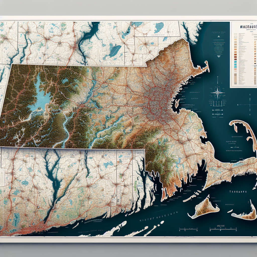
Interactive digital maps provide an advanced experience. They are accessible on various devices, offering dynamic features. Zooming, filtering, and layer options allow users to explore Massachusetts in greater detail.
Both printable and digital maps cater to different needs. While printable maps serve traditional purposes, digital maps offer versatile, interactive tools for in-depth exploration of Massachusetts counties.
Understanding Boundaries: Towns and Cities within Counties
In Massachusetts, counties act as a framework for organizing towns and cities. Each county comprises distinct municipalities, each with its own boundaries. Understanding these boundaries is vital for various aspects of daily life, from governance to local identity.
Detailed maps offer insights into these boundaries. They provide a view of how towns and cities are arranged within each county. These maps often highlight town limits, city borders, and geographic features, aiding in navigation and planning.
Such maps are crucial for real estate professionals and urban planners. They rely on accurate information about local boundaries. This knowledge affects zoning decisions, infrastructure development, and community services.
For residents, knowing town and city boundaries can enhance civic engagement. It helps identify local government offices, schools, and essential services. By understanding the layout of towns within counties, individuals can better connect with their communities and participate in local affairs.
The Role of GIS in Mapping Massachusetts Counties
Geographic Information Systems (GIS) play a crucial role in county mapping. They provide advanced tools for analyzing and visualizing spatial data. This technology enhances the accuracy of maps and adds layers of valuable information.
GIS mapping includes a variety of data layers. Users can explore demographics, land use patterns, and environmental features. These layers help create a detailed picture of each county’s landscape and resources.
For researchers and policy makers, GIS offers powerful insights. It allows for in-depth analysis of geographic trends and relationships. This technology supports planning efforts, environmental management, and helps address community needs effectively.
Conclusion: The Importance of County Maps in Daily Life
Understanding the Massachusetts county map layout enriches our knowledge of the state’s geography and governance. It aids in navigating the unique attributes and administrative divisions of each county.
Whether you’re planning a trip or conducting research, county maps are invaluable tools. They support decision-making across various fields, from real estate to education and public services.
References and Additional Resources
For further insight into Massachusetts county maps, various resources are available online. You can explore state government websites for official maps and data. Educational platforms often provide detailed guides and historical perspectives on the counties. Local libraries and historical societies also offer valuable information on county developments and their unique features.


