Understanding the geography of Pennsylvania school districts requires a nuanced appreciation of the state’s diverse topography and the historical factors that have shaped its educational boundaries. Pennsylvania, with its patchwork of urban centers, rural communities, and everything in between, presents a complex tapestry of school districts, each with its own unique characteristics and challenges.

The Historical Context of Pennsylvania School Districts
The establishment of school districts in Pennsylvania is deeply intertwined with its history, reflecting the socio-economic and political shifts that have occurred over time. As one of the original thirteen colonies, Pennsylvania’s educational landscape was initially shaped by its colonial past and the subsequent waves of immigration and industrialization.
Colonial Beginnings
Initially, education in Pennsylvania was largely informal, conducted by religious groups and funded by community resources. The Quakers, who settled in the state, were among the first to emphasize education, establishing some of the earliest schools. However, it wasn’t until the Common School Law of 1834 that a more structured public education system began to take shape, laying the groundwork for the modern school district system.
Industrialization and Urbanization
The rise of industries in cities like Pittsburgh and Philadelphia during the 19th and early 20th centuries led to significant population shifts, with rural residents moving to urban areas in search of employment. This migration necessitated the reorganization of school districts to accommodate growing urban populations, while also addressing the educational needs of rural communities.
Geographical Factors Influencing School District Boundaries
The geography of Pennsylvania is a defining factor in the delineation of school district boundaries. The state is characterized by its varied landscape, which includes the Appalachian Mountains, expansive forests, and fertile farmland, each influencing the layout and size of school districts in different ways.
The Appalachian Divide
The Appalachian Mountains, which run diagonally across the state, have historically acted as a natural barrier, influencing settlement patterns and the formation of school districts. Districts in mountainous regions often face unique challenges, such as transportation difficulties and limited access to resources, which can impact educational outcomes.
Rural vs. Urban Districts
Pennsylvania’s school districts can be broadly categorized into urban, suburban, and rural, each with its own set of geographic and demographic characteristics. Urban districts, such as those in Philadelphia and Pittsburgh, tend to be densely populated and face challenges related to overcrowding and resource allocation. In contrast, rural districts, which cover larger geographic areas with smaller populations, often struggle with funding and maintaining infrastructure.
The Modern Map of Pennsylvania School Districts
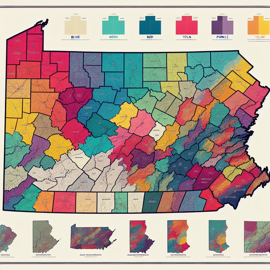
Today, Pennsylvania is home to 500 school districts, each governed by its own school board and administration. The Pennsylvania school districts map is a reflection of both historical legacies and contemporary realities, with boundaries that have evolved to meet changing educational needs.
Administrative and Legislative Influence
The state government plays a significant role in shaping the geography of school districts through legislation and policy. State funding formulas, mandates, and educational standards all influence how districts are organized and operate. Recent initiatives to consolidate smaller districts aim to improve efficiency and resource allocation, though such measures are often met with resistance from local communities who value their autonomy.
Technological Advancements and Future Trends
Advancements in technology are poised to further alter the landscape of Pennsylvania school districts. The integration of digital learning tools and remote education platforms can bridge geographic divides, offering students in rural areas access to resources previously unavailable. However, this also raises questions about infrastructure, equity, and the digital divide.
Challenges and Opportunities
The geography of Pennsylvania school districts presents both challenges and opportunities for educators, policymakers, and communities.
Addressing Inequality
One of the most pressing challenges is addressing educational inequality across districts. Disparities in funding, resources, and student outcomes persist, often correlated with geographic and socio-economic factors. Efforts to address these disparities include state-led funding reforms and community-based initiatives aimed at fostering equity and inclusion.
Community Engagement and Local Identity
Despite these challenges, Pennsylvania school districts are also hubs of community engagement and local identity. School districts often serve as focal points for community activities, providing not only education but also social and cultural cohesion. This underscores the importance of considering local needs and values in district governance and decision-making.
Exploring the geography of Pennsylvania school districts reveals a complex interplay of historical, geographic, and socio-economic factors that continue to shape the educational landscape. Understanding these dynamics is essential for stakeholders seeking to navigate the challenges and opportunities inherent in this diverse state. By appreciating the intricacies of Pennsylvania’s school district map, we can better address the needs of its students and communities, fostering an educational environment that is equitable, inclusive, and prepared for the future.


